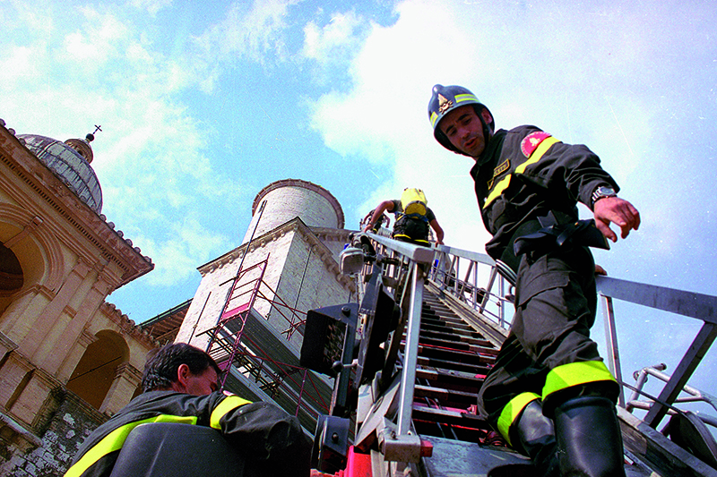
The earthquake of Umbria and Marche

On 26 September 1997 at 2:33 am, an initial earthquake tremor of magnitude 5.7 (Maw), grade VIII on the Mercalli scale, hit a vast area of central Italy, localised along the axis of the mountain ridge of the Apennines, between Umbria and Marche. The biggest tremor, of magnitude 6.0 (Maw) came at 11.40 am and worsened the damage scenario caused by the previous shake. This was the start of a seismic sequence that continued for several months in Umbria and Marche, with thousands of tremors in a wide area that extended for 50 km north west and south east, including the towns of Gualdo Tadino and Nocera Umbra to the north and Sellano and Norcia to the south. A dozen or so of these tremors had a magnitude higher than the damage limit (M≥4.5), causing further serious damage to these regions with their wealth of art and history.
Forty-eight municipalities were hit by the quake including Assisi, Gubbio, Foligno, Norcia, Valfabbrica, Gualdo Tadino, Nocera Umbra and Sellano, in Umbria. In Marche the worst damage was recorded in the municipalities of Serravalle del Chienti, Camerino, Fiordimonte, Castelsantangelo sul Nera.
Losses or damages to historical-artistic heritage were huge: the top of the bell tower of the cathedral in Foligno, the historical tower in Nocer Umbra, the many local museums and historical theatres that abound in these regions. The Franciscan complex in Assissi was the most famous damaged monument, visited every year by millions of tourists from all over the world.